Costa de Valencia is the coastal section that belongs to the province of Valencia, forming the Gulf of Valencia, an inlet of the Balearic Sea (western Mediterranean), on the eastern coasts of Spain. It borders the other two coasts of the Valencian Community, to the north with the Costa del Azahar (province of Castellón) and to the south with the Costa Blanca (province of Alicante).
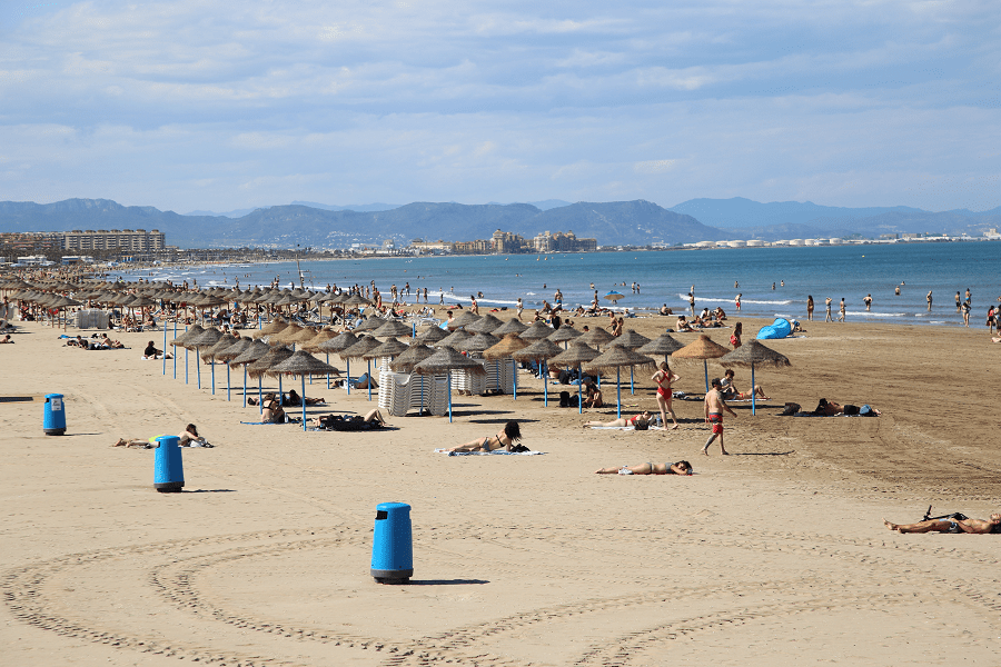
It is one of the most popular parts of the Mediterranean resorts of Spain.
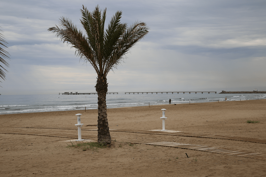
The coastline that comprises the 109-kilometer coast of Valencia has very few geographical features, the most notable being the Cabo del Faro de Cullera, since the coast is generally low and sandy, which favors the presence of abundant sandy areas, such as the from Cullera, Daimuz, Gandía, Miramar, Canet de Berenguer, Sueca and the city of Valencia itself. Swampy areas are also abundant (especially in the central plain) such as the Gandía and Oliva lagoons, the most important being the Valencia lagoon. The marshes such as those of El Puig and Jaraco also stand out.
The rice fields more typical of the central plain are combined with the cultivation of citrus fruits along the entire coast and with the cultivation of vegetables in the north of the province.
With irregular and practically scarce flows at the mouth, the rivers (from north to south) are the Palancia, Turia, Júcar and Serpis.
The towns located on the Valencia Coast (from north to south) are: Canet de Berenguer, Sagunto, Puzol, El Puig, Puebla de Farnals beach, Masamagrell beach, Masalfasar, Albuixech, Albalat dels Sorells beach, Foyos, Meliana , Port Saplaya (Alboraya), Valencia, El Perelló and Playas del Mareny (Sueca), Cullera, Tabernes de Valldigna, Jaraco, Grao de Gandía (Gandía), Daimuz, Guardamar de la Safor, Bellreguard beach, Miramar, Piles and Oliva.

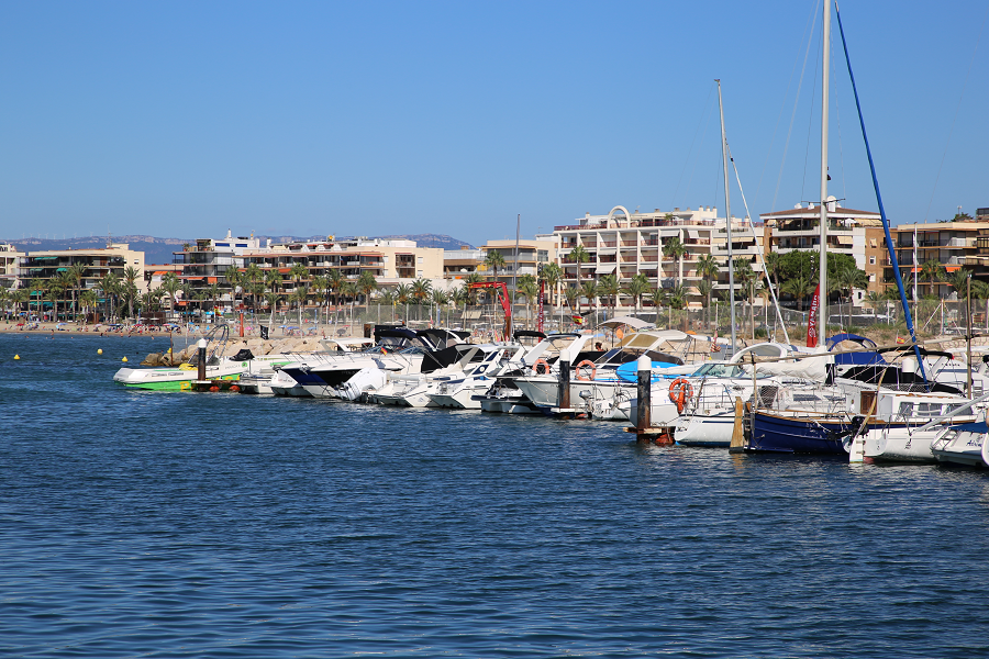
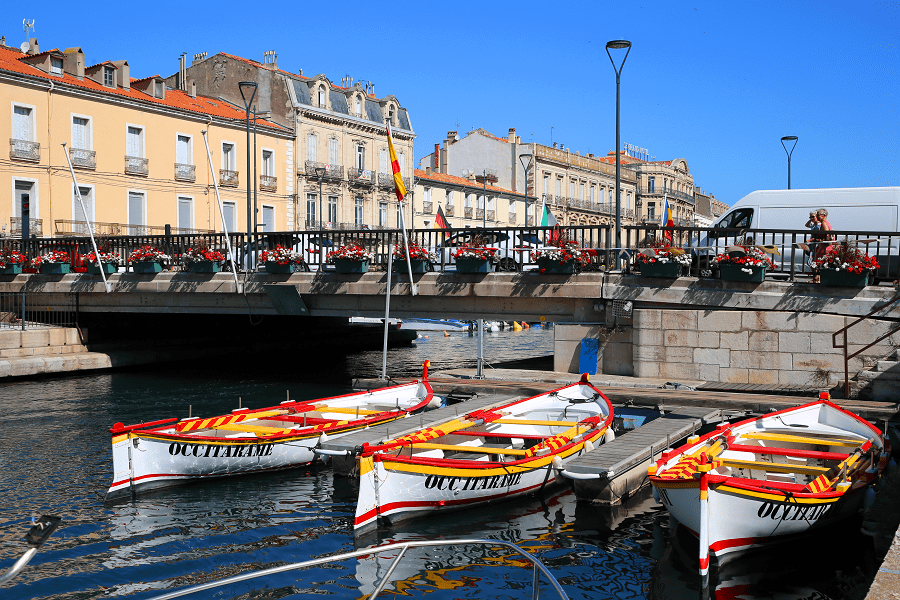
Its main tourist centers are the cities of Valencia, Sagunto, Cullera and Gandía.
How to get to?
The Valencia Coast is structured by the A-7 and AP-7 motorways that connect all the main municipalities and connect them with Castellón de la Plana to the north and Alicante to the south. The N-332 also runs along the parallel coast from Oliva to Valencia and the N-340 from the capital to Sagunto, serving the northern section of the coast.
From the interior it is easily accessible by the A-3 coming from Madrid and by the A-23 coming from Teruel and Zaragoza.
By air, the coast is served by the Valencia Airport.
Nature
Despite the intense “tourist exploitation” of the Valencia coastline, there are corners with wild beaches, pine forests and dunes. In the southern part of the municipality of Valencia is Dehesa del Saler (Mediterranean forest located between the coast and Albufera lake). The Albufera Natural Park and the Marhal de Pego Oliva Natural Park are major natural resources.
Aleppo pine, mastic, myrtle and palm trees have been replaced by fruit trees in many parts of the coast such as orange, lemon, medlar or carob trees.
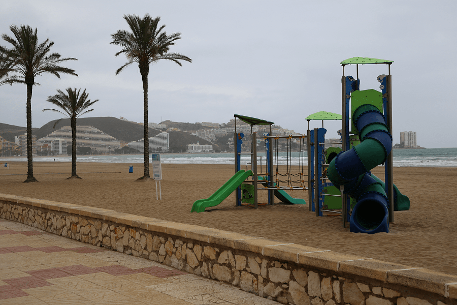
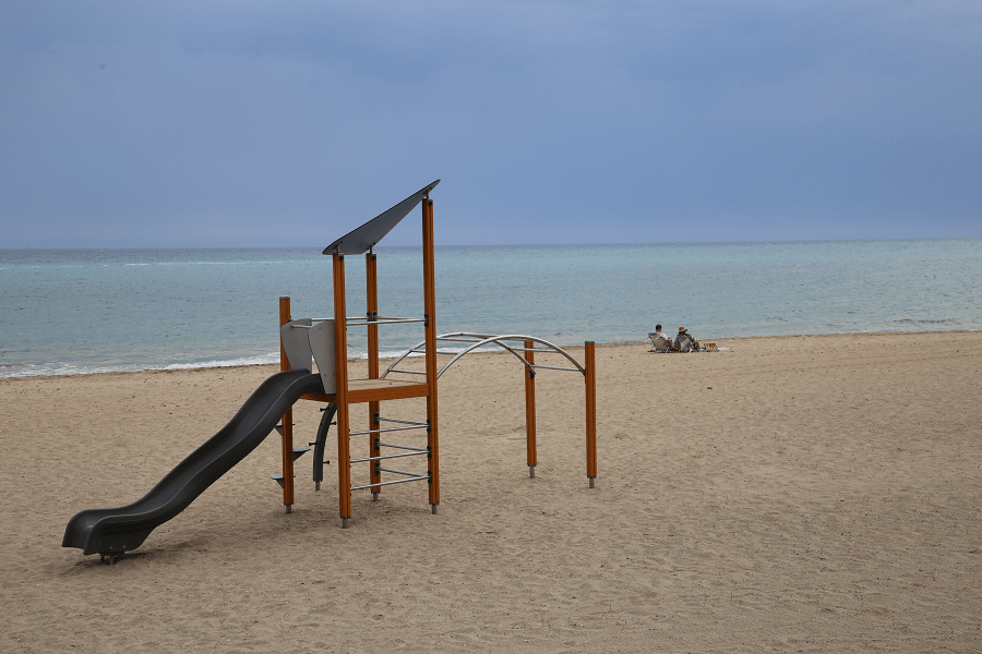
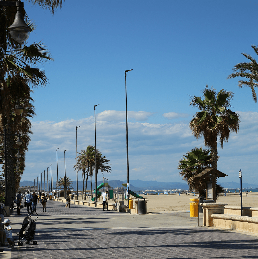
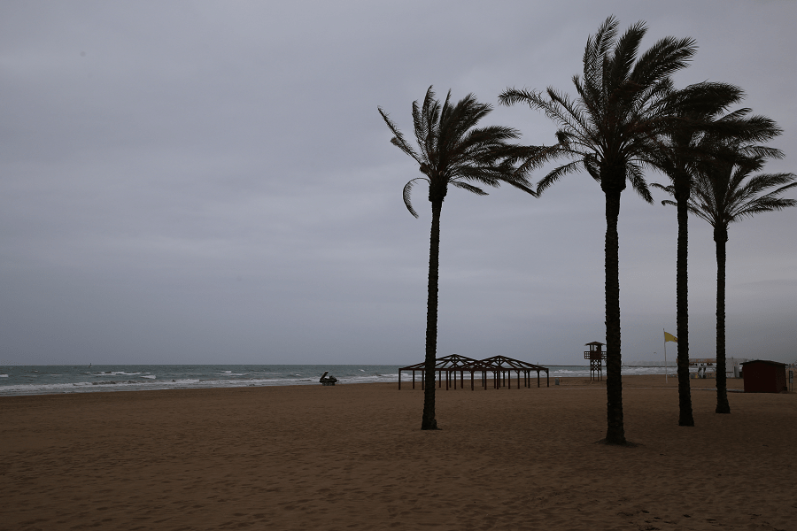
Its extensive beaches of fine sand are of great quality, 16 of which have the Blue Flag certificate.
Main resorts and tourist destinations (from north to South):

See here best sea and ocean resorts of France and Spain (223 objects)